Shop
L’Afrique divisée en ses principaux Etats
€600.00
ARTIST: Santini Remondini
YEAR: 1776
SIZE: 655x480mm
TECHNIQUE: Copper engraving with watercolor on borders
Large decorative map of Africa, published in Venice by Francois Santini. The map identifies the known regions of Africa, primarily along the coastlines, with vast tracts of unexplored regions in the interior. The map includes a large inset of the Cape of Good Hope and a second inset map of the Isle de France.


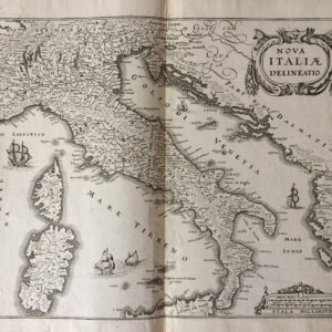
 Nova Italiae Delineatio


Reviews
There are no reviews yet.