Shop
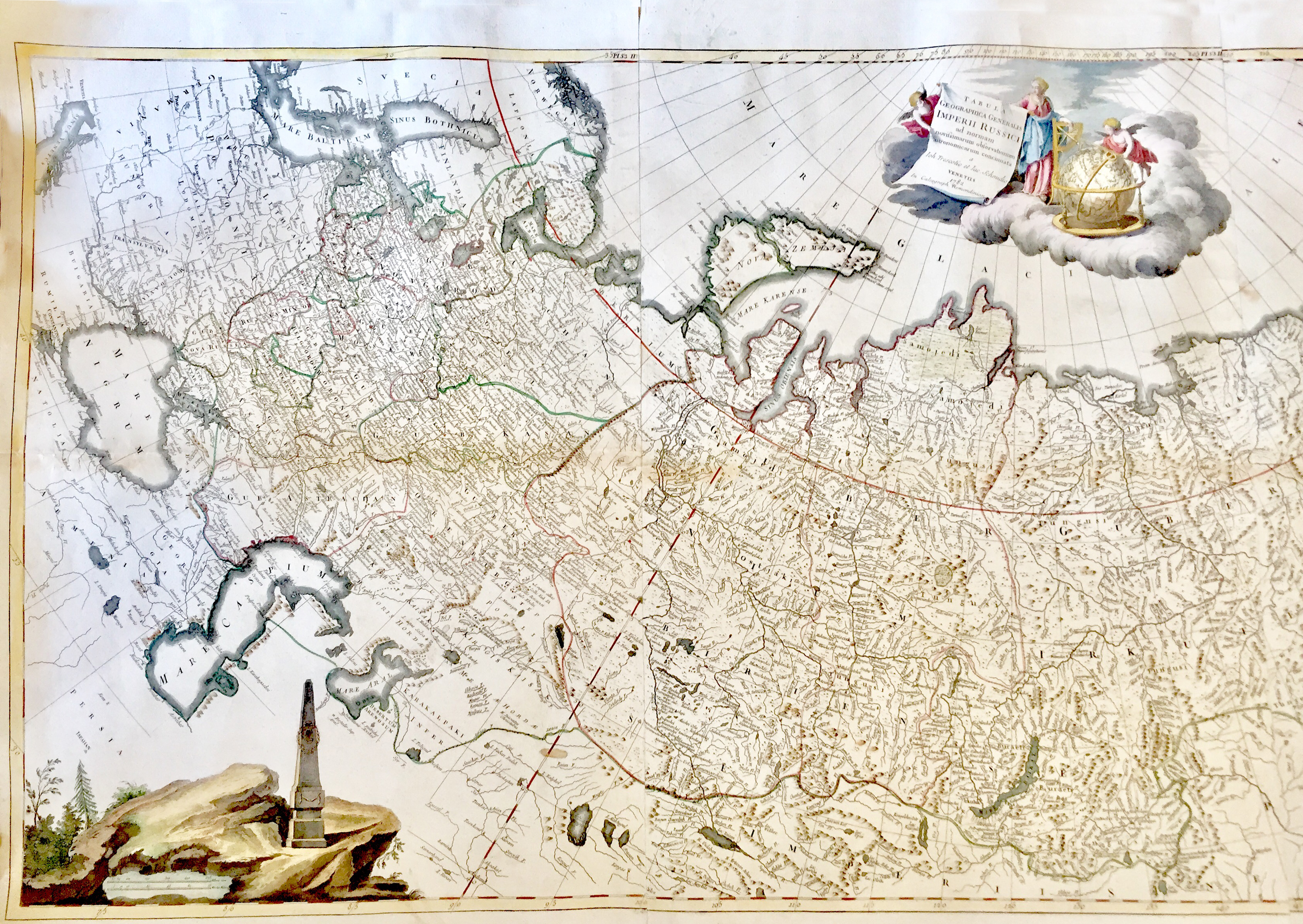
Tabula Geographica Generalis Imperii Russici
€2,200.00
ARTIST: Trescott John, Schmidt Jakob
YEAR: 1782
SIZE: 143x735mm
TECHNIQUE: Copper engraving with coeval coloring
Coloured map i, total 650 x 1410mm. A fine large scale coloured map in three sheets conjoined, detailing the expanse of the Russian Empire under Catherine the Great, stretching from Poland to Kamchatka and the Aleutian Islands. There are three cartouches: the title is supported by embodiments of mapmaking and discovery; the scale has an obelisk with an ‘E’ crowned with laurels (the first letter of Catherine’s name in Russian); and bottom right is a vignette of Catherine herself looking at a map of her conquests during the Russo-Turkish war (1768-74), aided by Mercury, a view of St Petersburg behind. This map was first published in St Petersburg in 1776.


Reviews
There are no reviews yet.